Description:
Do a professional app , then try t!
"Navigation tools' app screens full :
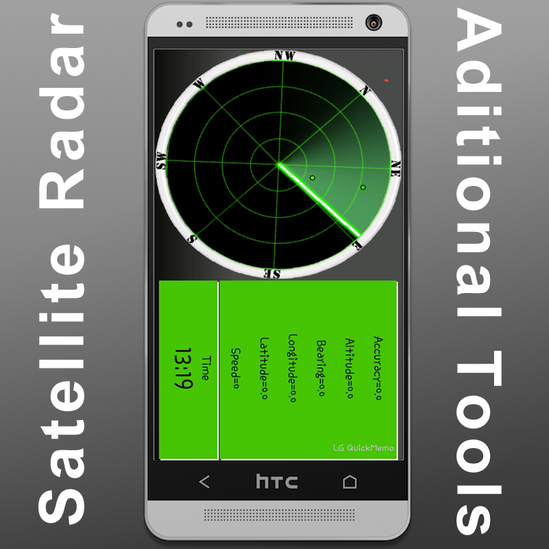
1. Satellite positions sky (skyview), shown radar(including additional information).
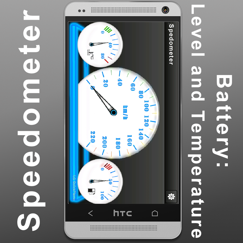
2. speed, battery level temperature shown speedometer.
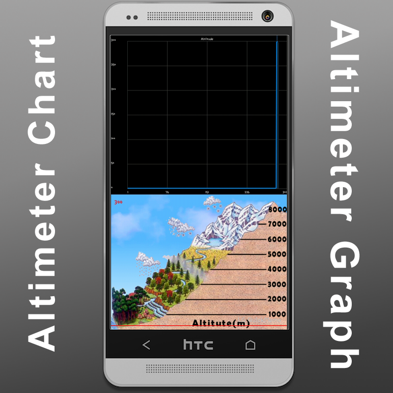
3. altitude shown text, graph, a altitude chart.
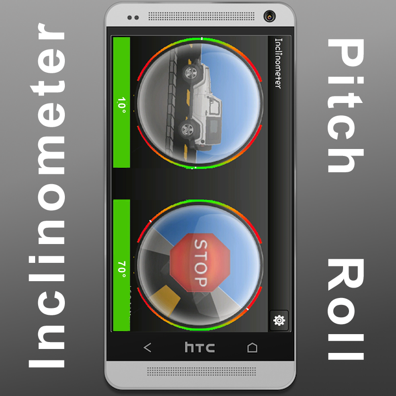
4. A simple compass showing direction (Additional: Pitch ).
5. Artificial Horizon
6. Inclinometer showing pitch roll car.
7. Proximity Alert ( near a point ), Place Finder (A simple search engine Map), Place surfer (Showing information Navigation Tools a place picked).
New Tools added.
Important:
1. signal go outdoors!
2. just wave figure motion.
Images:
Altimeter:
Inclinometer:
Satellite Radar:
Speedometer:
What do :wave:


{ 0 comments... read them below if any or add comment }
Post a Comment